



Trail Rating:
| 🟢Easy: | 🟦Moderate: |  Difficult: Difficult: | Expert: |
| Flat to gently rolling terrain; clear, wide paths with minimal obstacles | More challenging terrain, including occasional rocky or rooty sections and noticeable elevation changes | Steep climbs, technical footing, and significant elevation gain, requiring experienced fitness and navigation | Extreme exposure, mandatory scrambling, and severe technical obstacles |
With the extreme amount of rain the region has had over the past several months, the bush is lush, green and looking good. Grass is growing fast leading to path grass growing rapidly. We are trying to keep up with cutting path grass, but please be aware in case some paths grass is long.
When on a road or definite path, do not deviate until you see a clear marker (Wooden Arrow).
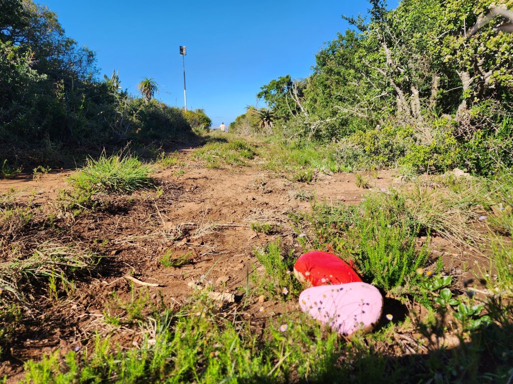
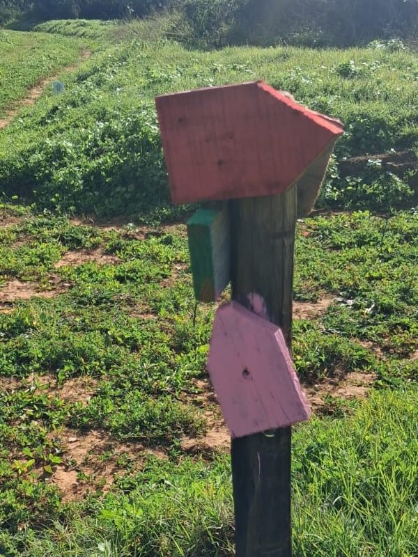
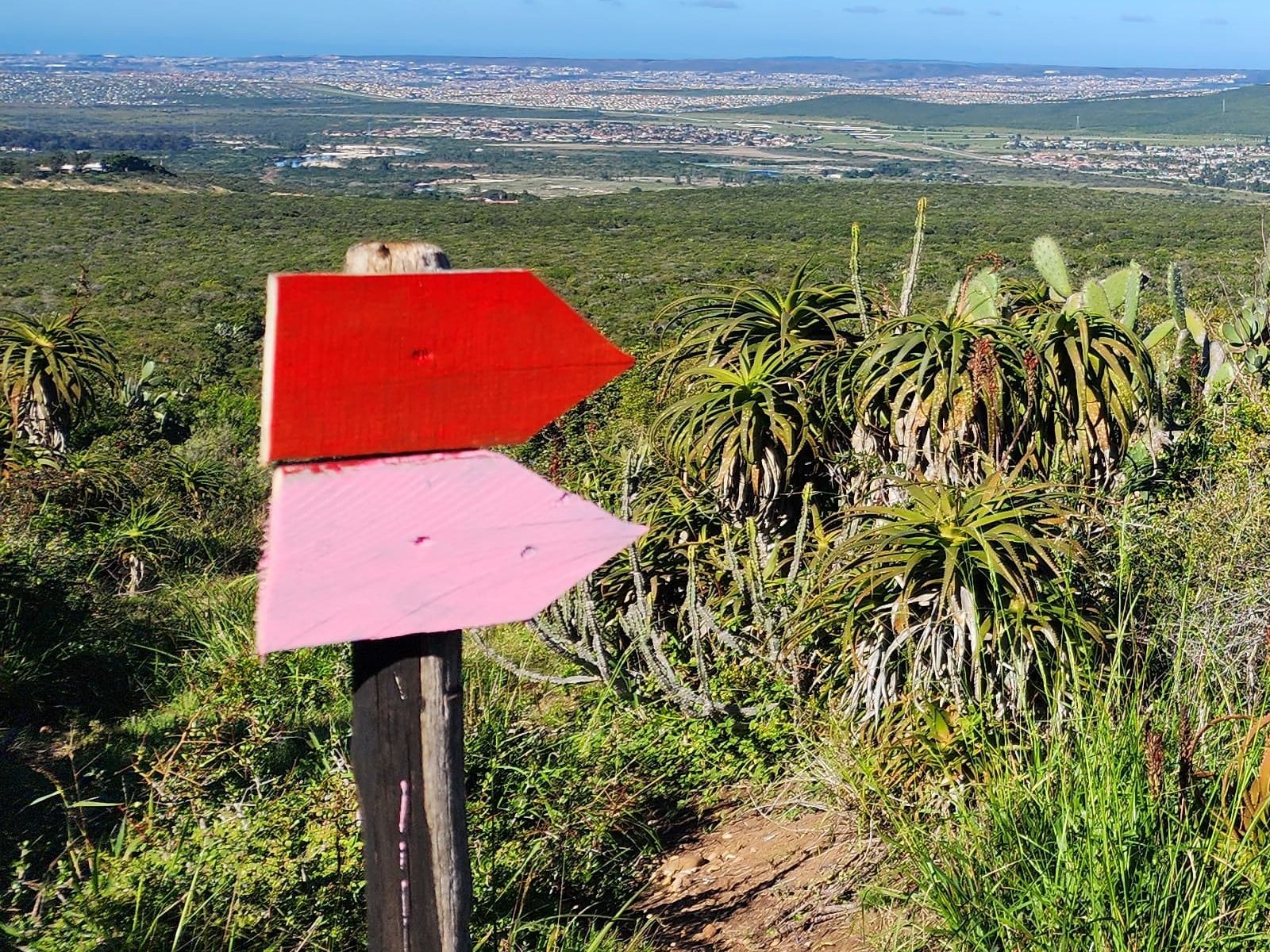
Markers have been repainted bright PINK. Markers are Wooden Arrows painted PINK and/or stones as per pictures below

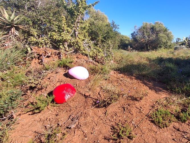

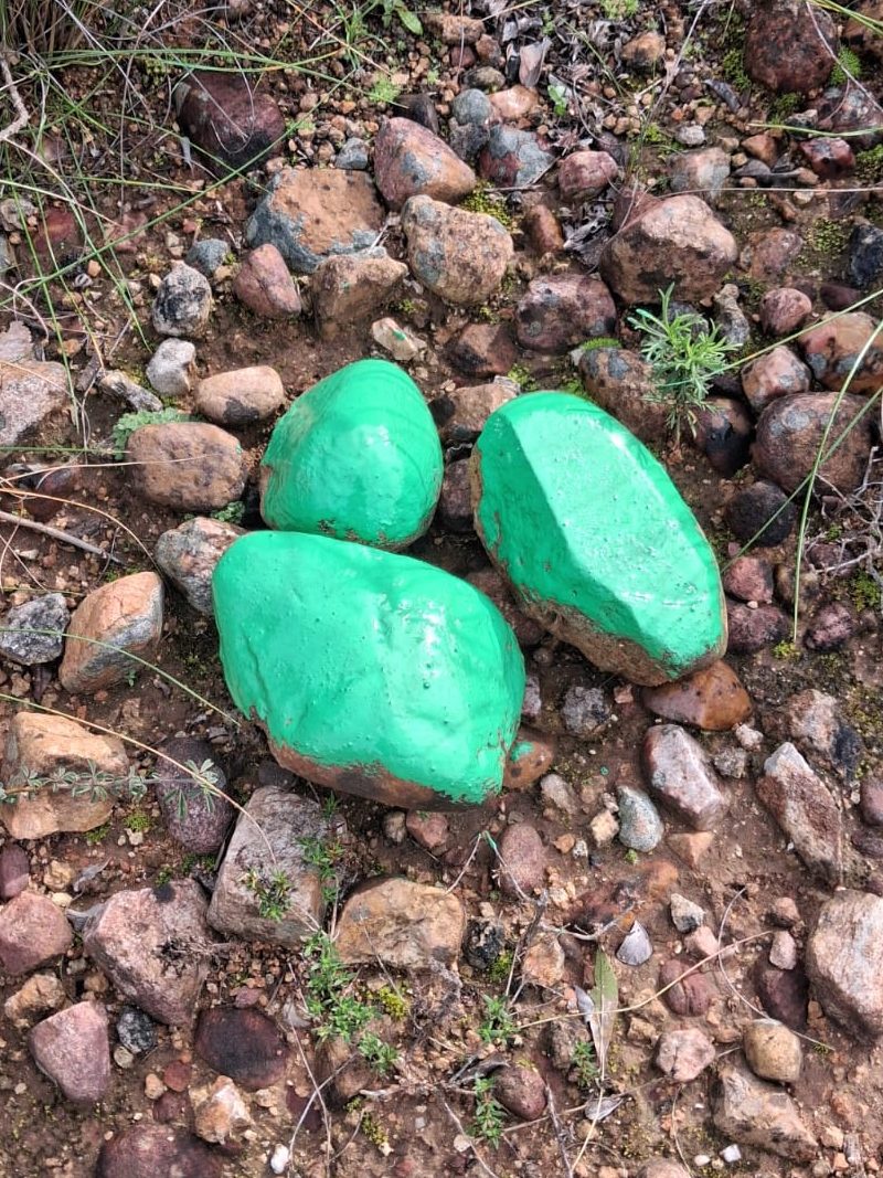
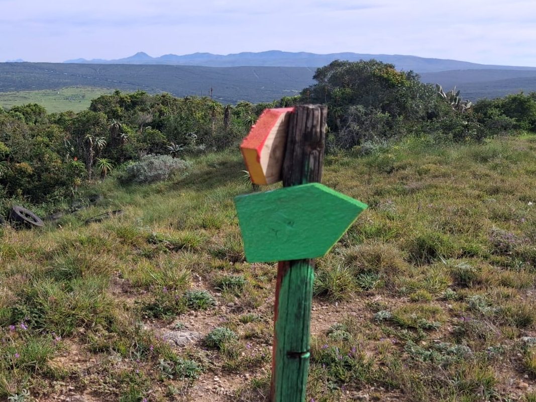
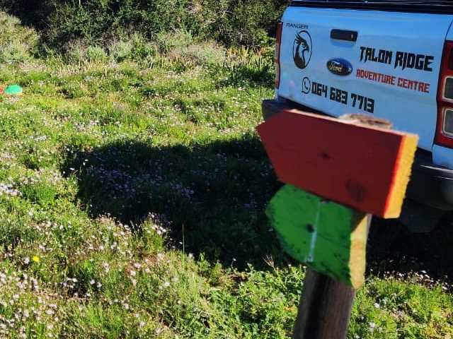
Markers have been repainted GREEN. Markers are Wooden Arrows painted GREEN and/or stones as per pictures below
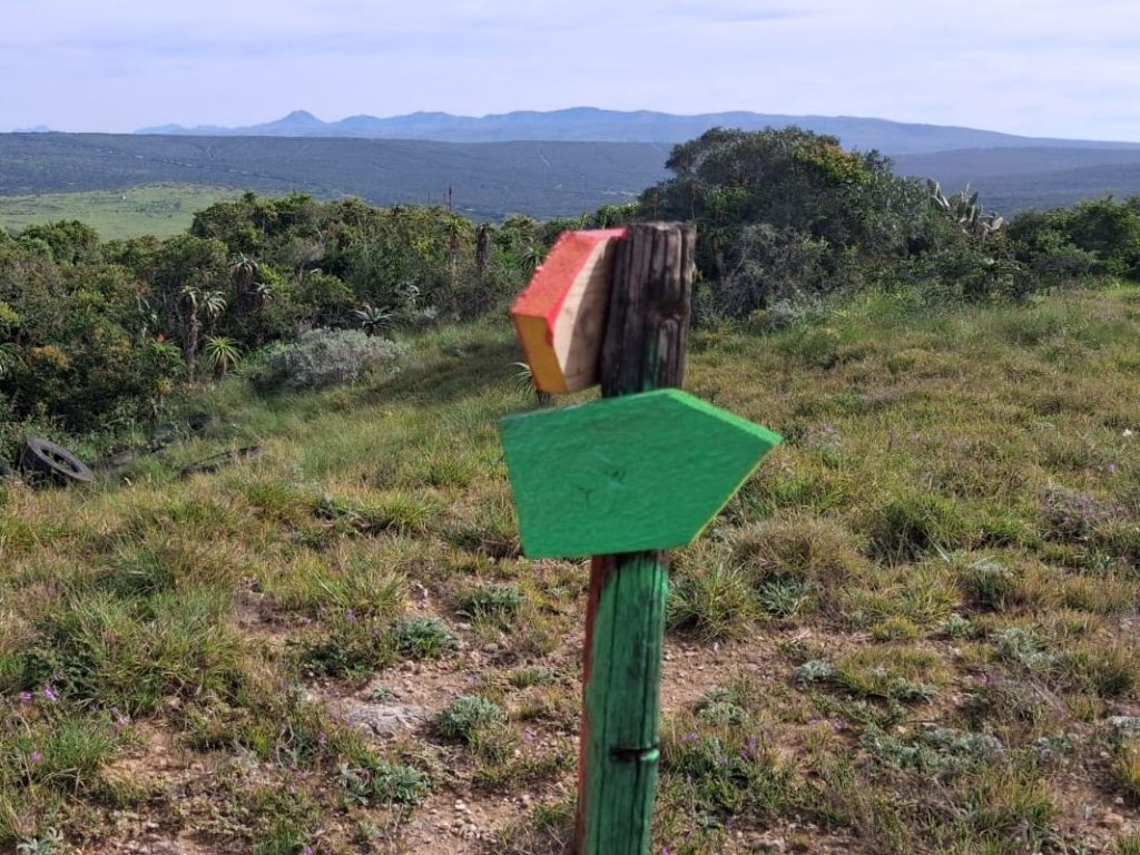
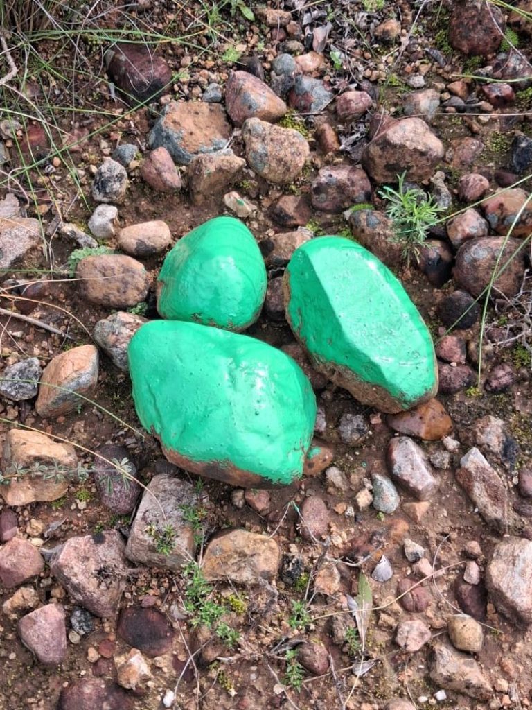

Those runners who partook in the 24th May trail run will remember that the 21Km trail was marked in YELLOW. Several people mentioned that the YELLOW (21Km) and the GREEN (10Km) colours were too similar and they got lost due to this confusion. We decided to repaint with RED as a contrasting colour and it stands out better against the green foliage
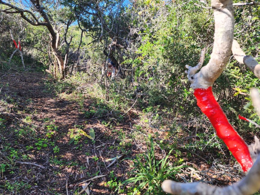
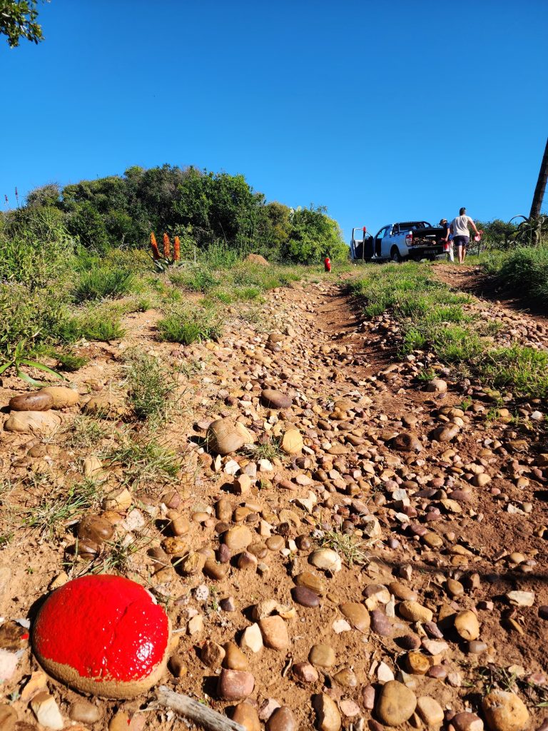
All Wooden Marker Arrows have been repainted a bright enamel RED (as per images below). Additionally, we have painted rocks RED in strategic locations.
PLEASE NOTE that trail marking is still very much Work in Progress on this course as it is a long route. We ask your patience and understanding that we intend to paint a lot more rocks to improve clear trail markings. Should you come across paper markers on bushes or trees down a path still in YELLOW, please (for now) know that these will be removed and replaced with stones painted RED (and that you are on the right trail). The MAIN markers with change of direction have ALL been painted RED and have had stones painted RED to accompany the Wooden markers. Currently, we are doing the marking ourselves (1-2 people) on Saturdays as this is the only time we have, but please be patient and we will get to these in time.



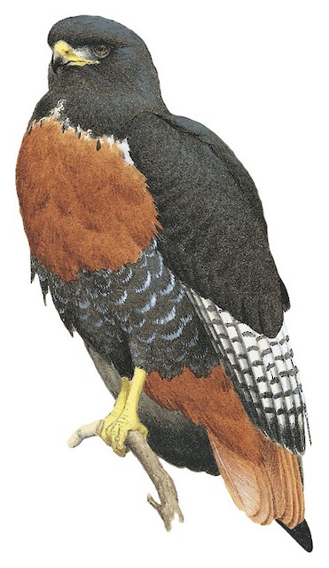
Jackal Buzzard
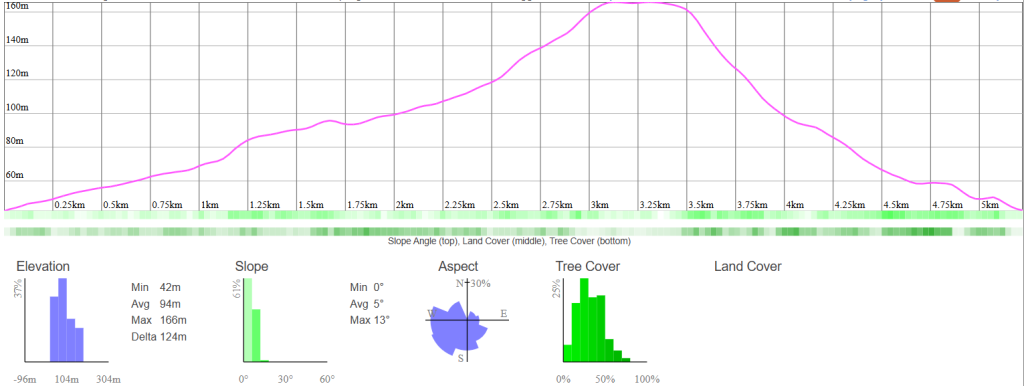
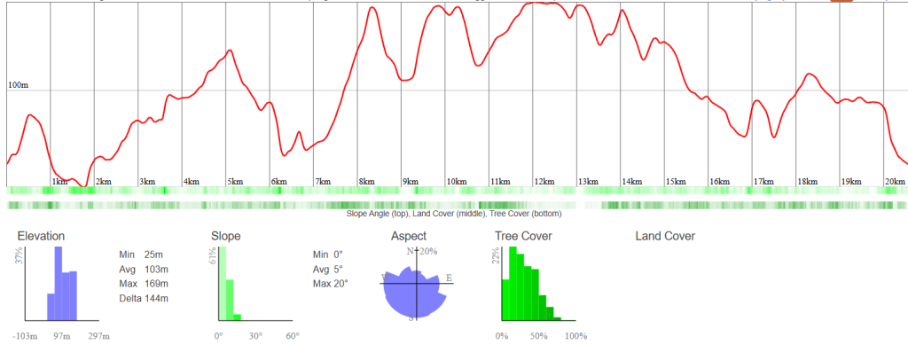
Enjoy a perfect introduction to the property on the Jackal Buzzard Trail, an accessible 5km route with 139m of elevation gain that features a long, steady climb to a scenic high plateau before a fast and fun descent back to the finish
| Difficulty: | Elevation: | Distance: |
| 🟢Easy | 139 metres | 5 Km |
Trail Markings – PINK


Long Crested Eagle
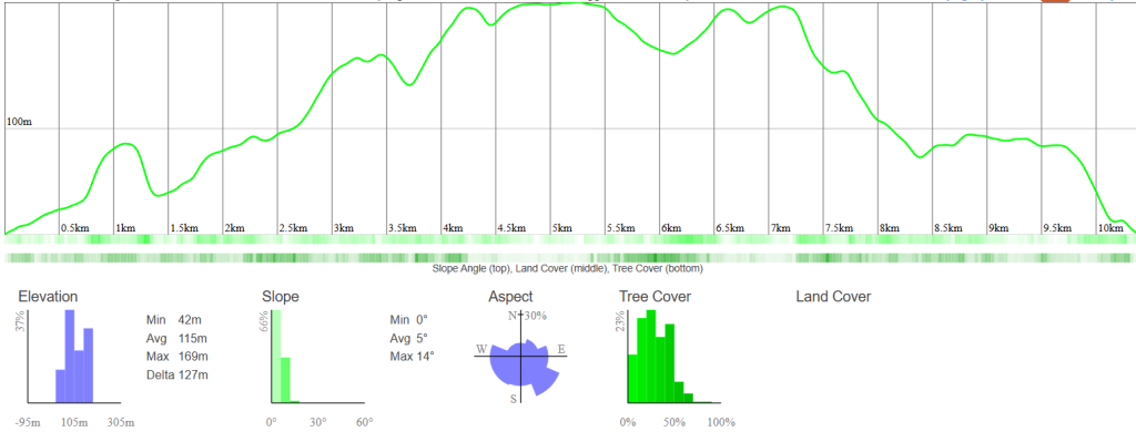
Fly like a raptor on the Long Crested Eagle Trail, a rewarding 10km route featuring 272m of elevation gain that challenges runners with a punchy, sustained climb to scenic ridges before a fast, flowing descent back to Talon Ridge.
| Difficulty: | Elevation: | Distance: |
| 🟦Moderate | 272 metres | 10 Km |
Trail Markings – GREEN




African Fish Eagle
Conquer the ultimate test on the African Fish Eagle Trail, a grueling 21km route that demands grit with 608m of elevation gain, pushing endurance runners through steep, relentless climbs up to high-altitude ridges before a technical, rolling descent back home.
| Difficulty: | Elevation: | Distance: |
| Difficult | 608 metres | 21 Km |
Trail Markings – RED


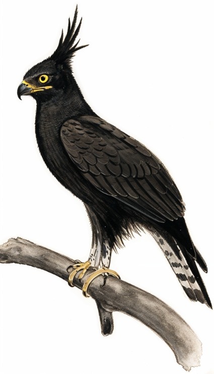
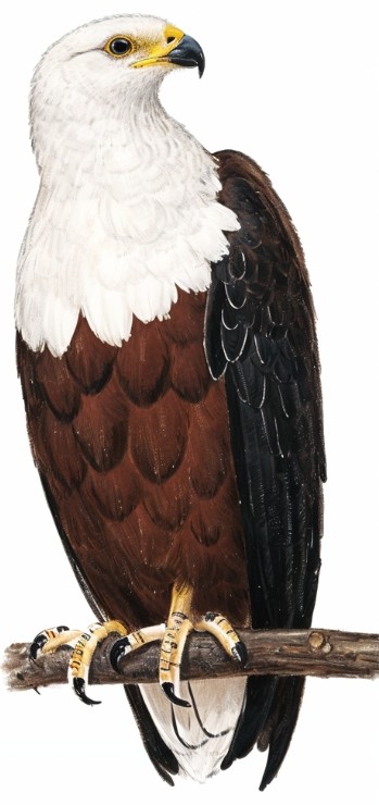
Talon Ridge is lucky to have all 3 of these birds (and many more) resident on the property. If you keep a sharp eye when driving in or during your hike you may see these 3 birds (or hear the beautiful cry of the African Fish Eagle).
Jackal Buzzard (5km): Named after the swift, adaptable hunter often spotted soaring over the lower hills and open valleys, reflecting a accessible yet lively route perfect for a fast-paced sprint or a steady intro to the ridge.
Long Crested Eagle (10km): Inspired by the striking eagle known for perched vantage points high up in the woodland canopy, symbolizing the step up in elevation to sweeping views across the mid-distance ridge.
African Fish Eagle (21km): Named after the iconic king of the African skies with its powerful, far-reaching call, representing the ultimate endurance test that spans the full expanse and highest peaks of the terrain.
Where can I spot these? Typically, towards the entrance on top of the power line poles or the large gumtree or even along the game fence line you might see them perched on one of the fence gum poles
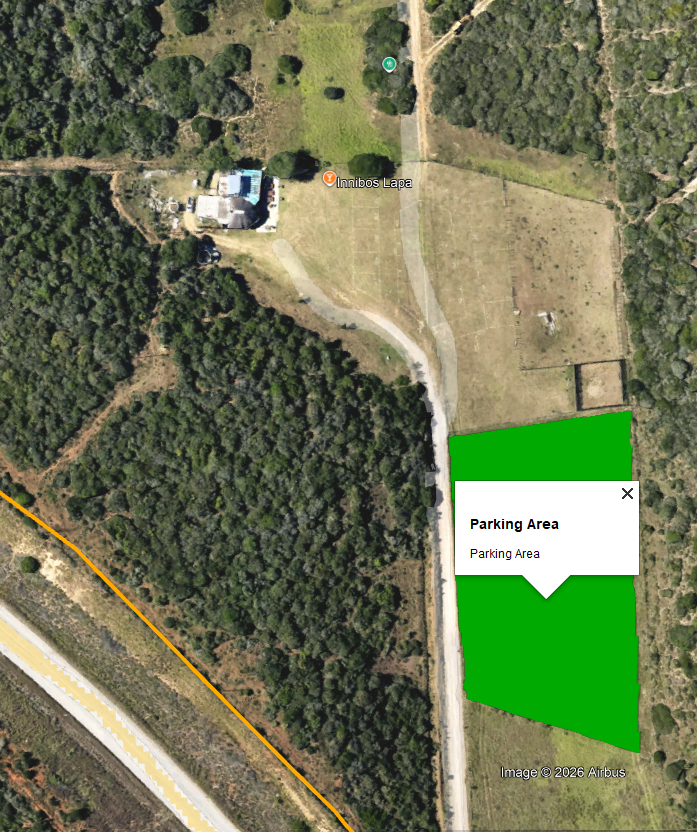
Please use the parking area in the open field to the right of the entrance road. See map below
Please look for the Talon Ridge branded bakkie at the Activity gate entrance. You will be asked to present your valid permit for the activity you booked. The QR code on your permit will be scanned in to check you in

PLEASE remember, in the interest of safety, please make sure that you check out when you have completed your activity. This is to ensure that we know who is still on the trails and can take the necessary actions if you have not checked out towards end of closing time.
African Fish Eagle
Conquer the ultimate test on the African Fish Eagle Trail, a gruelling 21km route that demands grit with 608m of elevation gain, pushing endurance runners through steep, relentless climbs up to high-altitude ridges before a technical, rolling descent back home.
| Difficulty: | Elevation: | Distance: |
| Difficult | 608 metres | 21 Km |
Trail Markings – RED